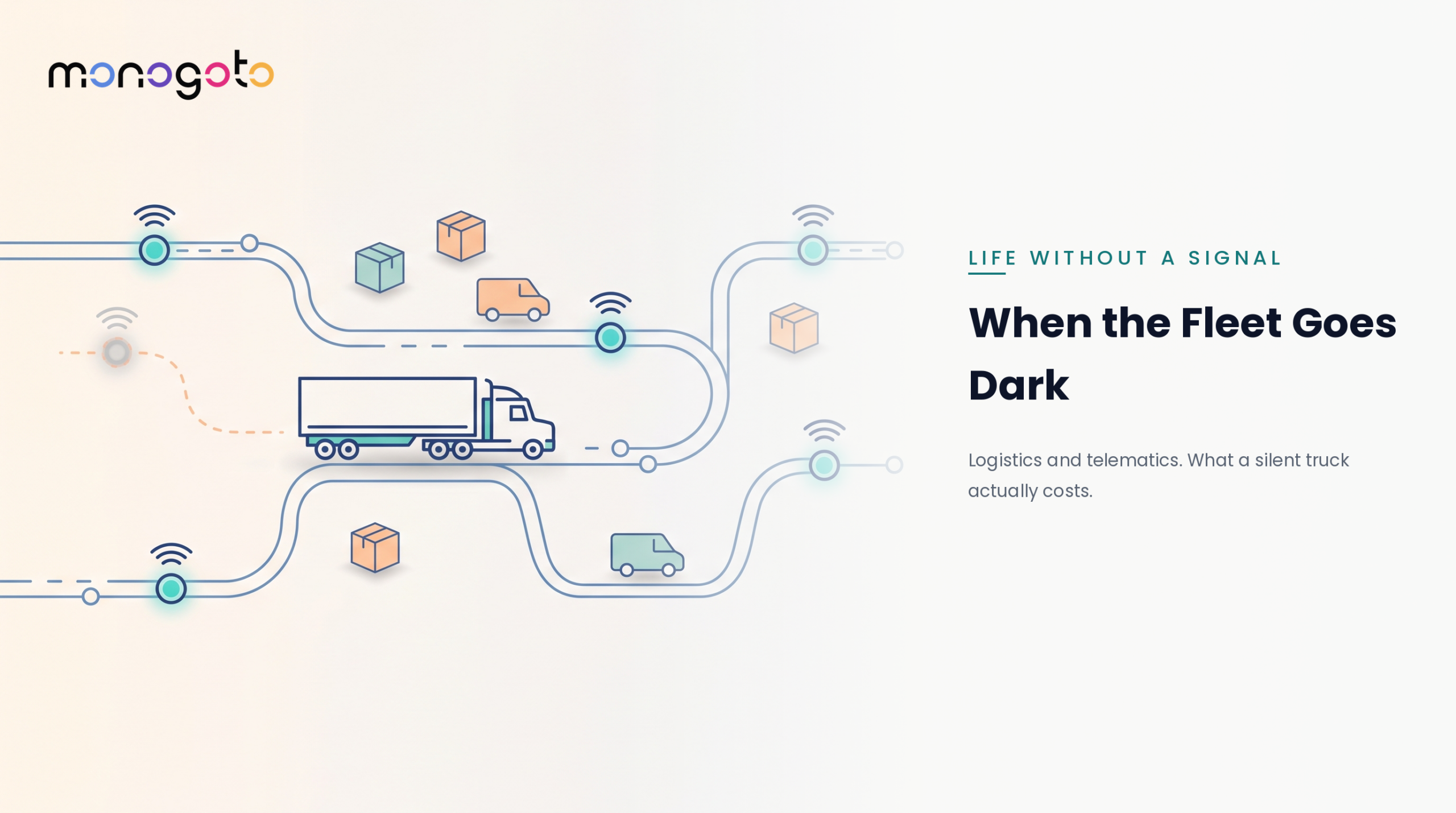

Your tracker doesn’t go dark because it is broken. It goes dark because it ran out of planet.
A container leaves the port. A mining vehicle heads into remote terrain. A shipment crosses a border and somewhere along the route, cellular coverage disappears, and with it, your visibility into the asset. That’s the problem with calling something a “global” tracking solution when the connectivity underneath it isn’t actually global. Cellular networks were built around where people live, work, and travel. Towers cluster around cities, highways, ports, and population centers. The ocean between those ports, the mountain pass your equipment has to cross, or the remote site where a piece of heavy equipment is operating were never cellular’s problem to solve.
Which means they became yours.
For years, solving that problem meant adding satellite connectivity as a separate system: different hardware, another SIM, another contract, another network to manage. For many tracking deployments, the cost and complexity weren’t worth it. The result? Fleets accepted the blind spots and hoped nothing important happened while an asset was out of range. Today, that is changing.
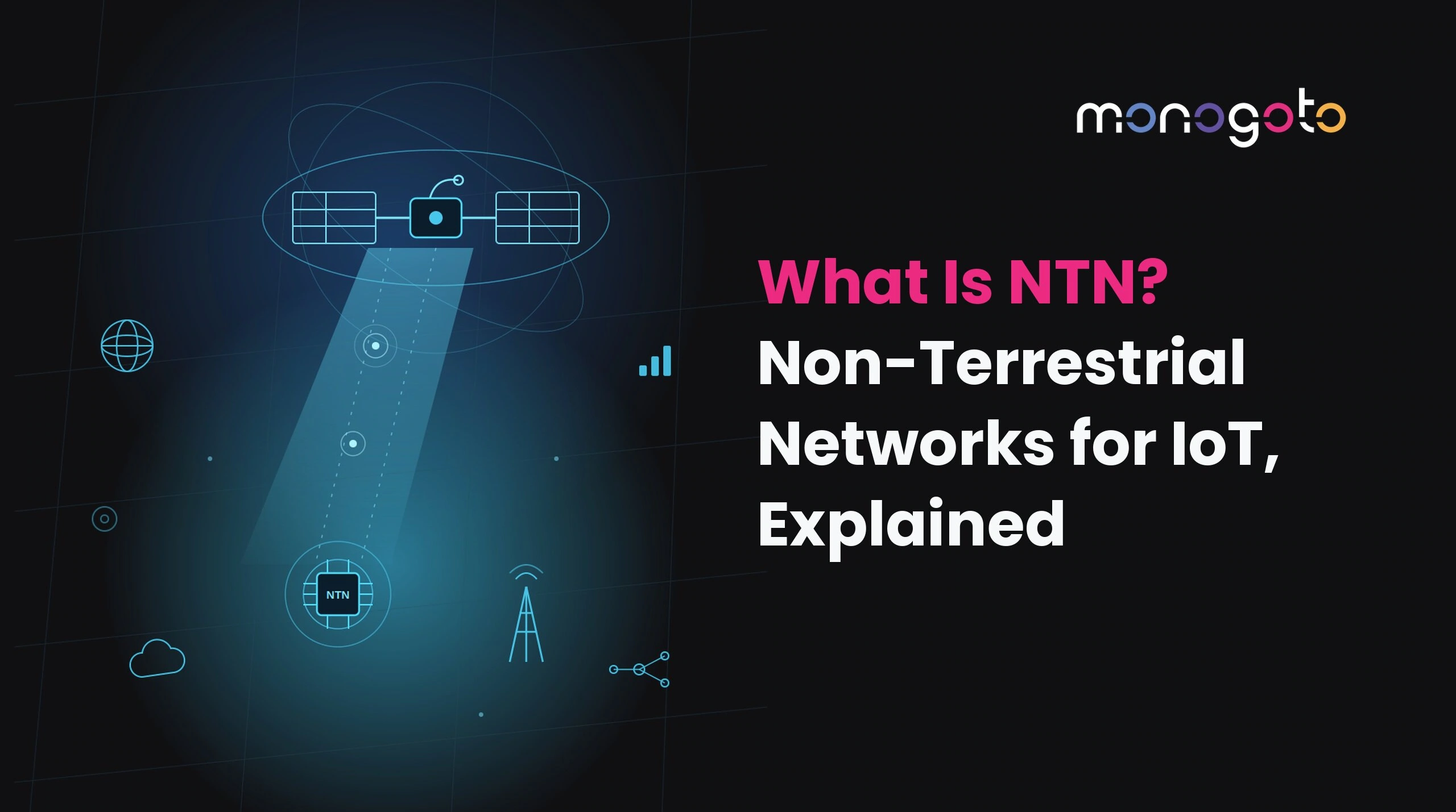
NTN, or Non-Terrestrial Network, brings satellite connectivity into the same 3GPP standards ecosystem as cellular IoT. The result is a path toward combining terrestrial and satellite connectivity into a more unified connectivity architecture, helping assets stay connected even when they move beyond the reach of traditional cellular networks. For global asset tracking, that matters.
Why Asset Tracking Breaks Down in Coverage Gaps
Every “global” tracking deployment has the same dirty secret: it isn’t actually global. It’s global everywhere except the ocean crossing, the remote haul, the cross-border corridor, or the last fifty miles into a remote site (which, unfortunately, can be exactly where things go wrong). Three coverage gaps show up again and again:
- Oceans. Container ships can spend days or weeks outside terrestrial cellular coverage. Traditional satellite IoT can bridge the gap, but often introduces a separate connectivity and hardware ecosystem.
- Remote terrain. Mining sites, agricultural operations, pipelines, and construction projects often operate far from population centers, where cellular coverage can be limited or nonexistent.
- Cross-borders. Even when cellular networks exist on both sides of a border, roaming availability and network differences can create gaps in connectivity at exactly the point where an asset is changing jurisdictions.
These aren’t unusual scenarios. They’re the normal operating environment for anything that ships internationally, moves across a continent, or operates far from population centers. A tracking solution that only works where cellular is strong isn’t truly global. It’s a tracking solution with an asterisk.
The Cost of a Blind Spot in a Tracked Shipment
A gap in visibility isn’t just an inconvenience. It’s a gap in your ability to know what happened to an asset and, in some cases, to respond while there’s still time to do something about it. Consider what can happen when the tracker goes silent:
- Cold chain failures can go undetected. A temperature-sensitive shipment can experience an excursion while it’s outside terrestrial coverage. If the device can’t report the condition, the problem may not be discovered until the shipment arrives.
- High-value cargo loses its chain of custody. When a shipment disappears from the location trail for hours or days, there’s a corresponding gap in your ability to verify where it was and what happened to it.
- Disputes become harder to resolve. When ownership, condition, or location is contested, “the tracker was out of range” isn’t exactly the evidence you want.
The problem isn’t simply that you’re missing data. You’re missing data during the part of the journey when you may need it most.
How Cellular + Satellite Connectivity Keeps an Asset Visible
The answer isn’t necessarily to add another standalone satellite system. It’s to make satellite connectivity part of the same broader connectivity strategy.
With NTN, satellite connectivity is based on 3GPP standards and can be incorporated into cellular IoT architectures. Depending on the device, network, and deployment, an asset can use terrestrial cellular where it’s available and NTN connectivity when it moves beyond terrestrial coverage.
That changes the architecture from:
Cellular network + separate satellite system
to:
One connected asset moving across multiple types of network coverage.
That distinction matters because a unified connectivity approach can reduce the need to manage separate identities, contracts, provisioning workflows, and data streams for terrestrial and satellite connectivity. It also gives the application a more consistent view of the asset instead of forcing teams to stitch together multiple systems after the fact.
For global tracking, the goal isn’t to make every asset communicate with a satellite every second. It’s to make sure the asset has a way to communicate when terrestrial connectivity isn’t available.
This is the model Monogoto builds toward: terrestrial and NTN coverage delivered through one connectivity service rather than two operational stacks running side by side.
Store-and-Forward vs. Real-Time Reporting
Not every asset needs a live location update every thirty seconds. Treating every tracking use case the same can burn battery, increase connectivity costs, and deliver more data than the operation actually needs.
Real-time reporting makes sense when a decision needs to happen now. That could include active security monitoring, route deviation alerts, or a cold-chain temperature excursion that requires immediate intervention.
Store-and-forward is different. The device records location and sensor data locally, then transmits that information when connectivity becomes available.
For an asset crossing the ocean, that can be exactly the right approach. You may not need its precise location every minute. You need to know where it has been, whether its condition remained within acceptable limits, and whether something went wrong along the way.\
The right architecture can use both approaches:
- Real-time connectivity when terrestrial coverage and operational urgency justify it.
- Store-and-forward when an asset is outside terrestrial coverage, and the data can wait.
The point isn’t to choose between cellular and satellite or between real-time and delayed reporting. It’s to match the connectivity strategy to the asset, the risk, and the moment.
Where Global Satellite Asset Tracking Needs This Most
The same pattern shows up across industries:
- Shipping containers: Ocean crossings create some of the largest terrestrial coverage gaps in global logistics.
- Cold chain: Temperature-sensitive freight needs condition monitoring across borders and oceans, not just while it’s sitting within cellular range.
- Heavy equipment: Mining, construction, agriculture, and other remote operations often take place precisely where cellular infrastructure is sparse.
- High-value cargo: When theft, diversion, or disputes are real risks, maintaining a reliable chain-of-custody record becomes part of the value of the tracking solution itself.
The common thread is simple: the coverage gap and the risk window can be the same window.
That’s why terrestrial-only tracking can fall short for global operations.
What to Look for in a Connectivity Provider
If you’re evaluating connectivity for a global asset tracking deployment, look past the coverage map. Ask how the entire connectivity architecture works.
- Is it one connectivity strategy or two systems bolted together? If satellite connectivity means another SIM, another dashboard, another contract, and another operational workflow, you may have closed the coverage gap while creating a management gap.
- Can it support different reporting models? Not every asset needs the same connectivity cadence. Look for a solution that can support real-time reporting when it’s necessary and store-and-forward when it makes more sense.
- What does “global coverage” actually mean? Ask which terrestrial networks and NTN networks are supported, which regions are covered, which satellite services are available, and what standards and regulatory requirements apply to the countries where your assets operate. “Global” should mean more than a marketing claim on a map.
- Can your existing devices support it? Before committing to a rip-and-replace hardware strategy, understand what your current modules and devices can support. Depending on the hardware, modem capabilities, supported bands, and network requirements, some existing devices may be candidates for NTN connectivity while others may require an upgrade.
- Who owns the orchestration? The difficult part isn’t simply connecting a device to a satellite. It’s managing the switching, provisioning, connectivity policies, data, and commercial relationships that make multiple networks look like one coherent service. Standards like SGP.32 matter here too, because remote SIM provisioning is what lets a deployed asset change its connectivity profile without someone physically reaching it.
That’s the part worth interrogating before you sign anything.
How Monogoto Approaches Satellite Asset Tracking
Monogoto delivers terrestrial and NTN satellite connectivity as a single service, on one SIM profile and one platform, rather than as two systems you operate in parallel.
Our satellite coverage is built on 3GPP NB-IoT NTN and delivered through partners including Skylo, OQ Technology, and Terrestar Solutions. Because it follows the standard rather than a proprietary satellite stack, any device or modem compliant with 3GPP NB-IoT specifications is a candidate, which means bringing satellite into an existing tracking deployment doesn’t automatically mean replacing your hardware.
What that looks like in practice for a tracking deployment:
- One connectivity contract and one platform covering both terrestrial and satellite, instead of a second vendor relationship to manage alongside your cellular one.
- One data stream into your application, so your tracking platform sees a single asset rather than two connectivity sources to reconcile.
- Orchestration on our side, provisioning, network selection, and connectivity policy, rather than on your engineering team’s.
The result is closer to what a global tracking deployment actually needs: an asset that keeps reporting as it moves between networks, without your team building the seams between them.
See It in Action
The future of global asset tracking isn’t about choosing between cellular and satellite. It’s about making the transition between them as invisible as possible.
That’s exactly what we’ll be discussing in our upcoming live panel with the Wireless Communications Alliance:
“Bridging Earth and Orbit with NTN Satellite Technology for Global Asset Tracking”
Thursday, August 27 | 1:00 PM PT / 4:00 PM ET
We’ll break down how 3GPP-standard NTN can work alongside existing cellular infrastructure, explore real-world maritime and remote logistics use cases, and take a live look at a TN+NTN GPS tracking device designed to keep reporting when cellular coverage stops.
If your tracking strategy still has an ocean-shaped hole in it, this is the session to bring your questions to.